
Flood Mapping for Fulton and McNab, Arkansas
Fulton, Arkansas, United States
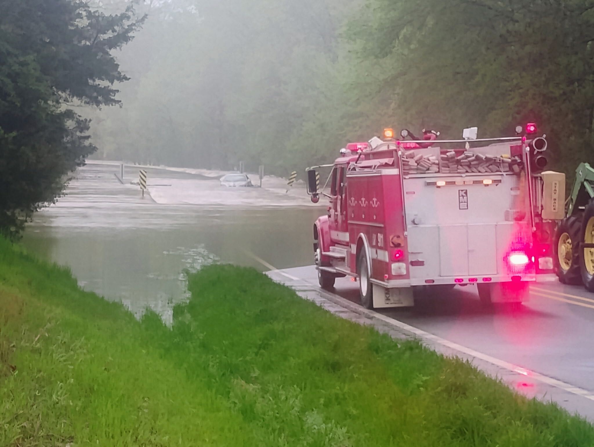
The residents of Fulton and McNab, Arkansas are interested in a comprehensive flood mapping assessment that informs residents and local businesses of flood risk and potential flood zones. As well as a recurring community town hall to empower residents with flood management education and preparedness strategy recommendations based on the result of the mapping assessment. The aim of which is to provide community members with vital knowledge and practical tools to enhance their resilience against flooding, ultimately creating a more informed and better-prepared community.
Resultados
The Fulton, Arkansas project focused on flood mapping and resilience planning for the communities of Fulton and McNab, Arkansas. The project aimed to equip residents with the knowledge needed to enhance their resilience against flooding and inform residents and local businesses of flood risk and potential flood zones through the creation of a research-backed tool. The project also sought to provide recommendations for next steps in flood mitigation and preparedness for both communities, ultimately creating a more informed and better-prepared community.
This project sought and found a volunteer scientist through the Thriving Earth Exchange network to assess flood risks and develop the story map. Additionally, the project engaged community members in workshops, discussions, and planning sessions to gather input and understand local capacity and lived experiences.
The volunteer scientist conducted flood mapping and data analysis, incorporating claims from lived experiences to determine ‘hot spot’ flooding zones. The data was then translated into a StoryMap for the ease and accessibility of the community. The StoryMap walks readers through the problem, common terminology, and how the flooding directly impacts them. It also has a dedicated section for future engagement and problem-solving.
Furthermore, the project connected the community with volunteer scientists and technical experts from the American Geophysical Union network. This collaboration fostered trust and partnership between residents, local leaders, and scientific experts, ensuring that solutions were both technically sound and locally relevant. The connection will likely lead to future collaborations and projects.
Overall, this project stands as a testament to the power of collaboration between science and community. By bringing together residents, local leaders, and a dedicated volunteer scientist through the Thriving Earth Exchange program, the initiative transformed raw data into a clear, accessible, and actionable tool, the “What The Flood?” StoryMap, that empowers the community to understand and address flood risks.
Project Outputs:
-
- ArcGIS StoryMaps are used to create interactive, scroll‑based narratives that combine maps, text, images, and multimedia. This project has created a StoryMap to guide local residents and readers through a graphical story about the history of flooding in the area — from the historic Red River Flood in 1927 to the persistent flooding residents’ face today. The StoryMap also aims to inform readers of common flood terminology such as types of flooding. Another central feature of the StoryMap is the maps produced that showcase how flooding in Fulton or McNab looks like with and without a 100-year flood event. 100-year floods are defined as flood events with a 1% chance of occurring in any given year. The StoryMap ends with a call to action to connect with VOTE SoAR.
- Community Conversation & Workshop Events
-
- The project also facilitated community conversation events to showcase the StoryMap and connect with the community. The two community conversation events were hosted in person at the local Union Baptist Church and with an option to join virtually. At the first one, there were 30 in person attendees with 5% engaging with the VOTE ecosystem for the first time. There was a similar turn out for the second event. The project equipped community members with vital knowledge about flood risks and mapping, helping residents understand the specific vulnerabilities of their areas and the potential impacts of future flooding. The workshops and discussions likely improved local understanding of flood preparedness and resilience strategies.
-
-
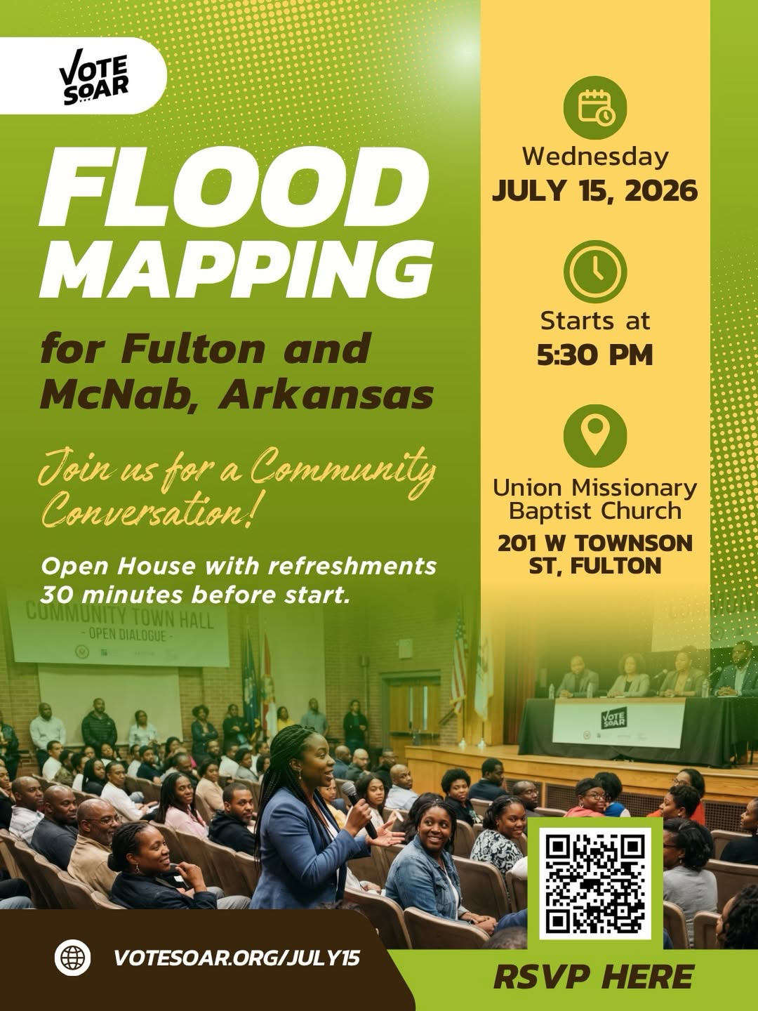
- Wednesday, July 15, 2026, 5:30 p.m. – 7:00 p.m. Union Baptist Church, 201 W Townson, Fulton
-
-
-
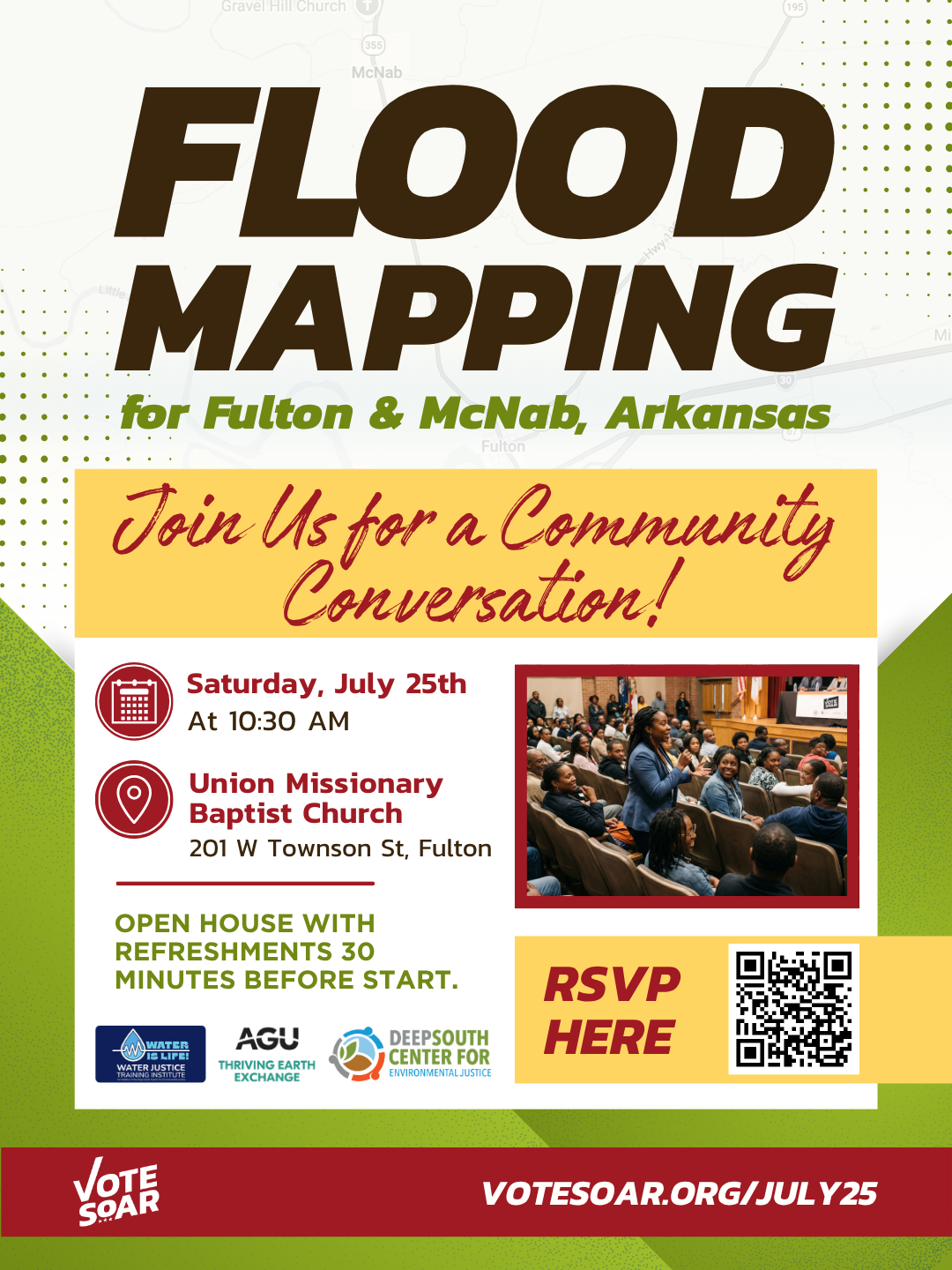
- Saturday, July 25, 2026, 10:30 a.m. – 11:45 a.m. Union Baptist Church, 201 W. Townson, Fulton
-
Community Impact
- The community benefited in the short term by gaining the What the Flood StoryMap to improve flood literacy and visualize the lived experience of flooding in their community. Furthermore, community members began engaging with community science and collaborating with local leaders as well as a technical expert from the American Geophysical Union network. Looking toward the future, this project and the conversations it initiated might lead to future collaborations and projects within the community.
Acknowledgements
- The Water Justice Training Institute (WJTI) is a project of the Deep South Center for Environmental Justice’s Gulf Water Justice Program. The WJT Institute hosted a DSCEJ Program, from which the VOTE SoAR Team gained meaningful support for this project through grant funding to support digital outreach, training to create this StoryMap, access to peer support, professional networking and general mentorship.
Future Plans
- The VOTE SoAR Team hopes to continue this work by presenting the What the Flood StoryMap at the AGU26 Conference. They have also reached out to collaborate with C2P2 in the future and continue their work with Deep South Center for Environmental Justice. The VOTE SoAR team is looking for future grant opportunities to continue working towards flooding resilience within their community.
Descripción
Acerca de la Comunidad
Hempstead County, Arkansas is a rural community rich in history and culture with around 19,343 residents (U.S. Census Bureau, 2023). The county has long been a cultural, travel, commerce, and settlement crossroads. In the Fulton area, Native American Caddoan cultures lived in villages along the Red River. Post-European settlement, travel and tensions were significant due to its shared border with the Spanish territory (later Mexico) and imperialistic westward expansion. In 1836, when Arkansas became a state, Hempstead was one of the original counties. In the post-Civil War South the Freedmen’s Bureau Southwest District field office was established near Fulton.
In the present day, key demographic constituencies include Black or African American residents (30%), Hispanic or Latino residents (15.6%), seniors are 21% of the population and 24% of the population is under the age of 18. These communities are concentrated across various municipalities, creating localized pockets of vulnerability within the Project Area.
The natural environment in Hempstead County challenges the area’s residents, businesses and agricultural pursuits. The Red River valley and its tributaries have long been prone to flooding, with the McKinney-Posten Bayous Watershed and Bridge Creek Watershed being particularly impacted. Additionally, Fulton’s and McNab’s proximity to high-traffic roadways and industrial activity increases pollution, further threatening the watershed and groundwater supply.
Hempstead County faces significant environmental challenges. The County includes 19 census blocks, 18 of which were designated as EPA Disadvantaged Communities by the Inflation Reduction Act (PL 117-169). Four of the seven census tracts in the county were classified as “disadvantaged” by the White House Council on Environmental Quality’s Climate & Economic Justice Screening Tool due to climate change impacts.
In addition to these features, the area ranks in the 95th percentile nationally for drinking water non-compliance, the 85th percentile for wastewater discharge, and the 83rd percentile for exposure to Particulate Matter 2.5, according to EJScreen’s Supplemental Indexes. Many communities within the county experience even higher levels of these environmental stressors, compounding existing vulnerabilities. By focusing on areas directly affected by these challenges, such as ours, this series can amplify local voices, raise awareness, and inspire action toward equitable and sustainable solutions.
Sobre el proyecto
The residents of Fulton and McNab, Arkansas are interested in a comprehensive flood mapping assessment that informs residents and local businesses of flood risk and potential flood zones. As well as a quarterly community town hall to empower residents with flood management education and preparedness strategy recommendations based on the result of the mapping assessment. The aim of which is to provide community members with vital knowledge and practical tools to enhance their resilience against flooding, ultimately creating a more informed and better-prepared community.
Calendario e hitos
Phase 1: Planning ( July 2025 – August 2025)
- Finalize the publication of the project webpage on the Thriving Earth Exchange website.
- Craft a community engagement contact list and schedule to include presenting to government bodies, faith institutions and media outlets.
Phase 2: Scientist (September 2025 – November 2025)
- Recruit and onboard collaborating scientist(s)
Phase 3: Flood Mapping (December 2025 – May 2026)
- Gather historical and existing flood data in order to create a comprehensive understanding of Fulton and McNab watershed.
- Create a detailed flood risk map using geographic data (above flood information, land use, soil, elevation, etc), making sure to identify vulnerable zones.
- Provide research backed recommendations for next steps in terms of nature-based solutions for flooding to residents.
- Conduct quarterly town halls to inform and engage the local community about the ongoing project and timeline.
Phase 4: Share (June 2026 -August 2026)
-
Host a final community townhall to share project findings with the community as well as discuss flood management education and preparedness strategy recommendations based on the result of the mapping assessment.
- Share project finds on Thriving Earth Exchange’s blog and other platforms.
Equipo del proyecto
Community Leader
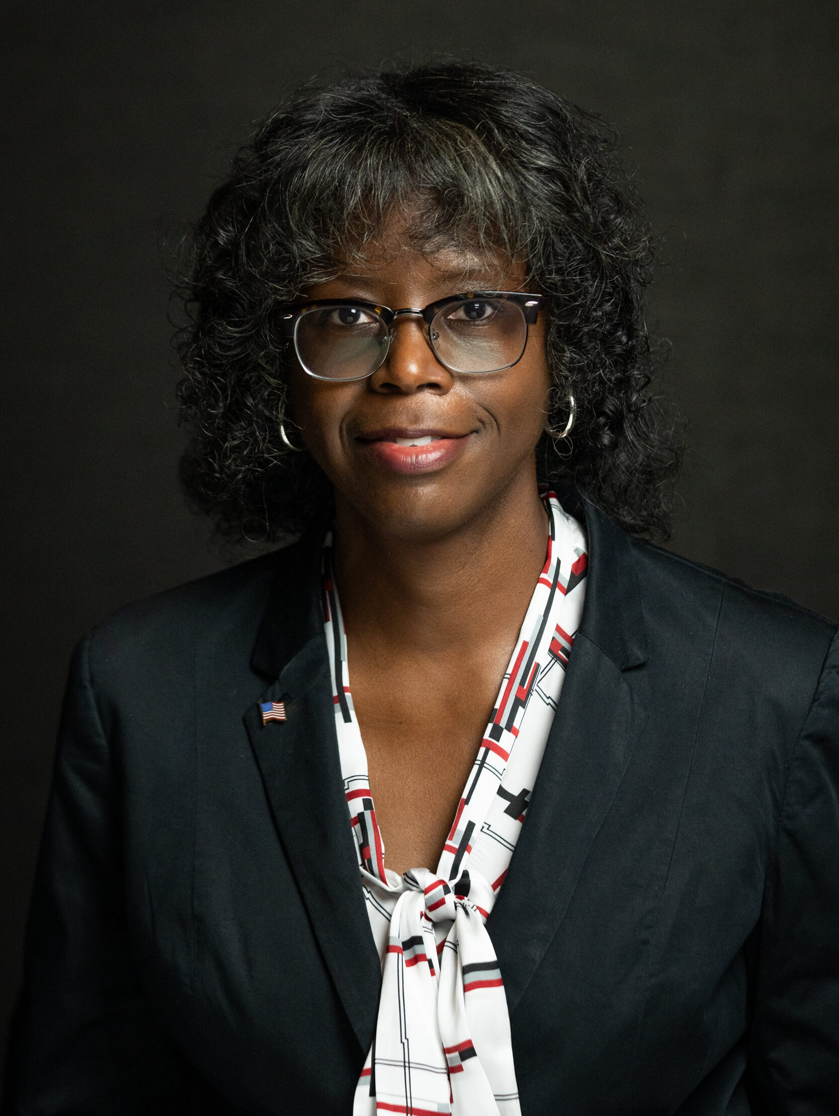
Sylvia C. Brown is a multi-faceted professional with 20-plus years of experience implementing and supporting local, state, and federal government electoral and issue campaigns and grassroots community engagement.
Sylvia founded and chairs Visibility Outreach Touch Engage South Arkansas, a nonprofit community collective finding joy in civic engagement, community building and sharing power. VOTE SoAR’s mission is to foster community-led solutions to modern challenges, with a focus on environmental justice, civic engagement, and equitable resource distribution.
VOTE SoAR Environmental Programs Project Manager

Cydnee Harris is a graduate of the #1 Historically Black College and University in the country, Spelman College. She holds a Bachelor of Arts degree in Philosophy, with a minor in Environmental Science. During her course of study, she worked directly with communities and government officials to advance equitable environmental policy. Cydnee’s commitment to environmental justice has grown since early childhood, culminating in strategic wins for underrepresented communities against climate change’s effects and access to clean energy and sustainable investments in the strategies and tactics that ensure resilience and agency. Cydnee aims to reduce global warming and climate change’s impacts on underinvested communities, domestically and internationally.
Científico comunitario
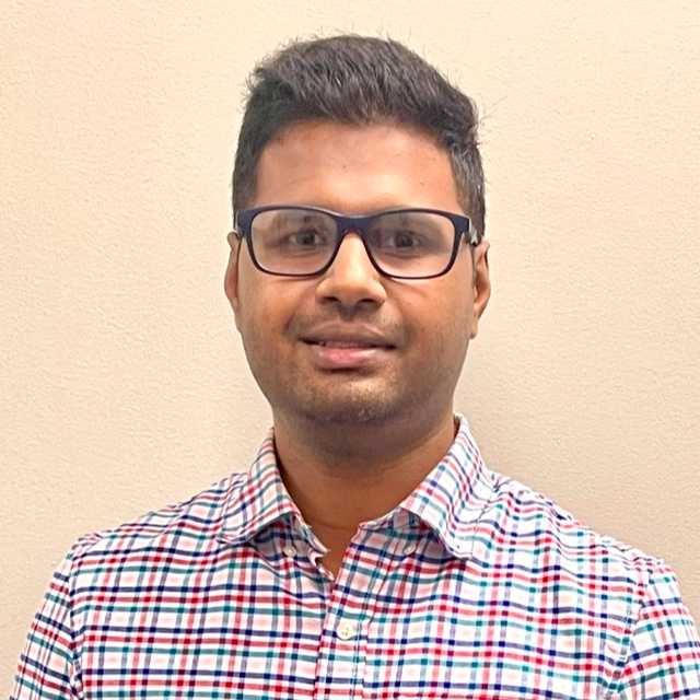
Thomas Poulose has more than 13 years of experience as a Water Resources Engineer and Certified Floodplain Manager in Hydrology and Hydraulics modeling and drainage engineering serving Texas Department of Transportation (TxDOT), United States Army Corps of Engineers (USACE), Harris County Flood Control District (HCFCD), Louisiana Department of Transportation and Development (LaDOTD) and Harris Galveston Subsidence District. He has diverse project experience, including roadway cross drainage, storm sewer trunkline modeling, drainage designs, master watershed drainage studies, flood mitigation plans, floodplain mapping, feasibility studies and alternatives analysis. Thomas has expertise in utilizing ArcGIS, HEC-RAS, HEC-HMS and XP-SWMM.
Becario científico comunitario
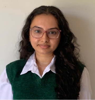
Anushka Srivastava is a mission-driven analyst with a passion for community resilience with over 5 years of experience in the climate space. She holds a Bachelor’s degree in Geography from Rutgers University and a Master’s in Climate & Society from Columbia University. She thrives on translating complex climate information into clear, actionable insights that promote equitable change. Her expertise includes strategic planning, data communication, and community engagement. She’s excited to leverage her background to support and enhance climate resilience and community planning initiatives that make a real difference.
Collaborating Organizations
Alianza Antropoceno
Anthropocene Alliance is a national network of over 400 communities impacted by climate change and environmental abuse. We do that by providing scientific, technical, fundraising and community organizing assistance. We have connected several of our member communities to Thriving Earth Exchange and are now seeking to collaborate with VOTE-SoAR on their stormwater management project. We hope to be involved in connecting VOTE-SoAR to additional local partners and resources, including the South West Environmental Finance Center and WaterNow Alliance. We will also support stakeholder engagement efforts and work to raise awareness about the project.
Status:
Complete,
Location:
Fulton,
Managing Organizations:
Anthropocene Alliance,
Thriving Earth Exchange,
Project Categories:
Flooding,
Natural Hazards,
Storm Management,
Water Management,
Project Tags:
No tags