
Building Trust in Reidsville GA Through Residential Green Infrastructure
Reidsville, Georgia, United States
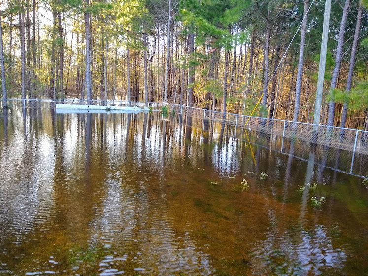
Photo Courtesy of Jacqueline Jones.
Reidsville GA Community Floods’, a small community group, seeks to prevent residential flooding in Reidsville, GA. This community science project will help residents understand their flood risks and the potential for green infrastructure as a step toward this greater goal. In parallel with the group’s existing partnerships that are investigating county-level flooding, the outcomes of this project are to 1) create a map that outlines flood risk in the community 2) better understand the potential for green infrastructure, including replicable green infrastructure on private property.
Description
The Community
Located along the Woodpecker Trail, Reidsville, Georgia, is a city within Tattnall County about 65 miles west of Savannah. The less than 3,000 Reidsville residents enjoy scenic neighborhoods within their seven square miles city. Reidsville is a predominantly Black (40%) and white (51%) community with a poverty rate above 30 percent. Reidsville is home to the Nelson Hotel and the Georgia State Prison.
The small but mighty community group, Reidsville GA Community Floods, has been actively trying to prevent and reduce the amount of residential flooding, especially during the springtime. They have written letters to public officials, passed out flyers to community members, and sought grant funding for infrastructure changes. With the support of Anthropocene Alliance (A2), Reidsville GA Community Floods has secured a partnership with the Army Corp of Engineers Silver Jackets team who, we hope, will be doing a county-wide study of flooding, including the riverine flooding. Reidsville GA Community Floods is also working with the Center for Applied Environmental Sciences who are funding an assessment of seven properties in the community. They will then be working with the University of Georgia to develop green infrastructure designs for these properties. What we are currently lacking is a city-wide understanding of the problem, particularly of the pluvial flooding impacting residents.
The Project
The main goal behind this community science project is to increase community trust and awareness by helping them understand the scale, source and nature of their flooding, and potential solutions including green infrastructure. Reidsville residents, including those in and beyond Reidsville GA Community Floods, are the primary stakeholders in this project. The residential properties owned by Reidsville GA Community Floods members will be the first properties placed on the community map. The community map will offer insight into properties that would benefit the most from the designed green infrastructure. A great emphasis will be placed on communicating the flooding challenge in terms that are relatable to and welcomed by Reidsville residents.
After completing this project, Reidsville GA Community Floods members should have a community map that shows the scale and nature of the flooding and the potential for green infrastructure. Beyond these two tangible outcomes, Reidsville GA Community Floods members should feel more confident and empowered to educate their neighbors on how beneficial and accessible green infrastructure can be in flood prevention and reduction.
Reidsville GA Community Floods will share the project’s progress on its Facebook page and include key elements in its distributed flyers. The project team will host regular open meetings for Reidsville residents to optionally join.
Timeline and Milestones
The project team anticipates that this project will end in March 2023, but remains flexible by the needs of the community in partnership with Anthropocene Alliance and the volunteer community scientist. The team hopes to have a scientist selected by May 2022 and begin the design and mapping phase by July 2022.
Project Team
Community Lead – Reidsville GA Community Floods
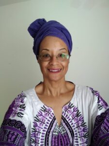
Miss Jacqueline Jones (she/her) formed the group called Reidsville Georgia Community Floods after being tired of having stagnant water up to the window sills on her house. She moved to Reidsville GA in the late 2010s and knows that it’s possible to manage stormwater better than it is managed now. Her determination, resilience, and hard-work has led to engineering assessments and partnerships that have begun to alleviate the flooding challenges in Reidsville.
Community Scientist
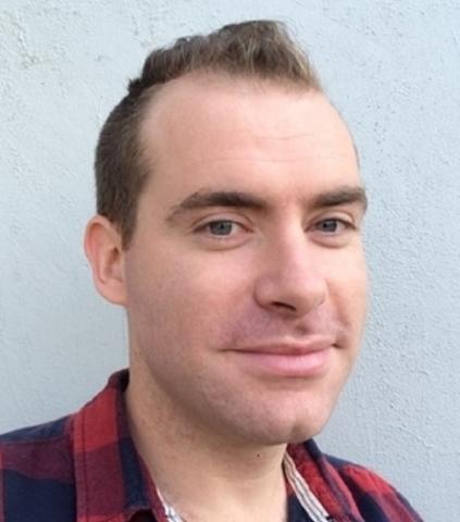
Jonathan (Jon) Sullivan is a Post-Doctoral Research Scientist at the University of Arizona studying global environmental change and inequality. He principally relies on statistical causal inference methods to connect human-environment impacts to outcomes of inequality, well-being and land-use change. Jon also uses satellite imagery from regional to global scales to monitor agricultural systems and flood events. His research at UArizona focuses on the human, climatic, and political drivers that generate inequality in multiple forms and how inequality in turn affects our environment.
Dr. Mirela Tulbure
I’m an earth observation scientist using time-series of satellite data and machine learning to quantify surface water dynamics including flooding and on-farm reservoirs, and their drivers of change (climate variability and land-use change). I’m currently an Associate Professor with the Center for Geospatial Analytics at North Carolina State University, where I lead the Geospatial Analysis for Environmental Change Lab with current funding from NASA.
Graduate Student Researcher
Vini Perin is a scientist with background in agriculture, meteorology, floods, remote sensing and geographical information systems. His research at the Center for Geospatial Analytics, North Carolina State University, focuses on understanding the role that on-farm irrigation reservoirs have on their local and remote hydrology.
Partner – Anthropocene Alliance

Sabrina Chapa (she/they) is a Xicana from the frontlines of so-called South Texas (Karankawa land). She is a proud “Earth Protector at the intersections of just practice, biocultural ecology, and radical transformation”. She got her M.S. in Environmental Policy and Sustainability Management with a focus on Ecological Justice. In addition to being a program manager for Anthropocene Alliance, she’s also a co-researcher with the Tishman Environment and Design Center and volunteers for her community.
Community Science Fellow
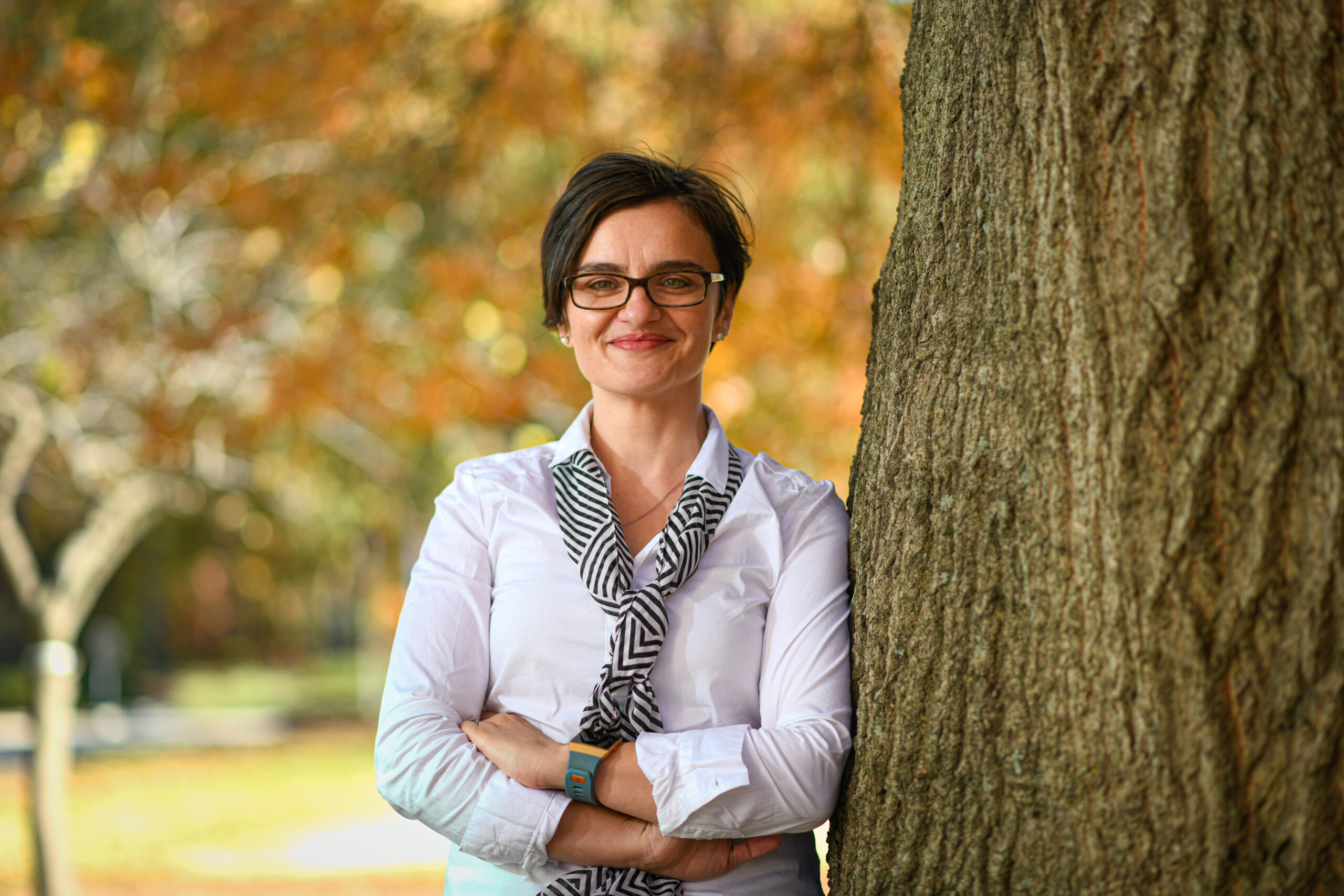
Cathy Liebowitz (she/her) began her career at the University of Maryland, where she worked at the intersection of sustainability and higher education, advising college students on sustainability projects that improved their communities. Today, as the founding director of sustainability at the College of the Holy Cross in Worcester, MA, Cathy partners with diverse stakeholders and creates programming that advances the College toward carbon neutrality. She received a BA in Environmental Studies from Dartmouth College and a MA in Higher Education Administration from University of Maryland, College Park.
Status:
Complete,
Location:
Georgia,
Reidsville,
United States,
Managing Organizations:
Anthropocene Alliance,
Thriving Earth Exchange,
Project Categories:
Flooding,
Project Tags:
No tags