
Assessing how to prioritize stormwater infrastructure projects under a changing climate
Takoma Park, Maryland, United States
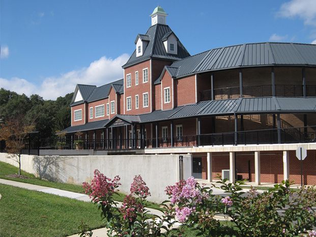
Photo courtesy of City of Takoma Park, Maryland
Description
The City of Takoma Park, Maryland is a small, built out community bordering Washington, D.C. With almost 18,000 residents and 2.4 square miles, the City was founded in 1883 as a commuter community.
The City has had a stormwater utility fee in place since the late 1980s and have used the funds to focus on treatment goals and permits. The community is experiencing harder and heavier rains in recent years and are aware that their stormwater infrastructure may not have sufficient capacity to handle more intense precipitation events. The Public Works Director is working with her team to better understand the capacity of their stormwater infrastructure system now and into the future. Given that climate change is altering the frequency and intensity of storm events, the community is most interested to learn where the weak spots exist in their current stormwater infrastructure and where they should prioritize updates/modernization efforts to direct the stormwater utility fee funds.
The Project
The project will entail a GIS, climate change, and hydrology modeling analysis to assess areas that are undersized and need to be updated in the stormwater infrastructure system. While some of these weak spots are known anecdotally, a systematic approach to prioritizing infrastructure improvements is needed. The City has digitized GIS data and maps available that can be coupled with information from climate and precipitation models to see its capacity to handle projected heavier rainfall events. Ideally multiple scenarios that consider topography will be run with a range of climate change/precipitation predictions. Areas within the stormwater infrastructure that are undersized would be categorized by low, medium and high priority (i.e. are they in areas that would cause property damage or traffic disruption).
The project outputs will include a final report and GIS analysis about the stormwater infrastructure weaknesses under different climate change scenarios. The report will be presented to the City Council and made publicly available.
The impact of this project on the community will be the development of a systematic approach that allows them to effectively use their stormwater utility fee budget to be proactive in adapting to future climate change and precipitation impacts.
“The community would like help understanding and systematically assessing their stormwater infrastructure’s capacity for handling projected climate change impacts so that they can prioritize infrastructure improvement projects which will enable the community to be more resilient to future changes and minimize property damage.”
Timeline
The project is expected to take about a year. The budget process for the City starts in January of each year and is finalized in May for a July start. Assessment results about where stormwater infrastructure priorities should be located may inform budgetary decisions for the stormwater utility fee. An ideal time to submit the final report to the City Council would be early next year.
Milestones include:
- Agree on project scope and scenarios to run
- Acquire necessary data
- Develop/calibrate model (GIS, HydroCAD)
- Conduct model runs under several precipitation scenarios
- Finalize assessment and prepare final report
- Present final report to City Council
- Share report publicly
Project Team
Community Leaders
Ali Kahlilian, City of Takoma Park City Engineer, has over 30 years of wide-ranging experience in SWM and water resources, environmental, geotechnical and construction QA for a variety of projects. Ali is currently serving as The city of Takoma Park’s City Engineer.
Daryl Braithwaite, City of Takoma Park Public Works Director
Community Scientists

Gustavo Coelho is a PhD student in the Department of Civil, Environmental and Infrastructure Engineering at George Mason University, specializing in water resources engineering. His research interests are associated to water resources management, mainly related to flooding mitigation strategies in urban and coastal areas aiming to improve resilience and adaptation. He has more than 8 years of experience in consulting projects related water resources and environmental engineering in Brazil and France.

Celso Ferreira is an Assistant Professor in the Civil, Infrastructure and Environmental Engineering Department of George Mason University, specializing in water resources engineering. He is also an Associate Researcher at the USGS National Research Program. His current research interests are associated to water related extreme weather hazards and its impacts to civil engineering infrastructure. He has more than 10 years of experience working in consulting projects related to water resources, environmental and coastal engineering in the US and Brazil.
Franco Montalto directs the Sustainable Water Resource Engineering Laboratory in Drexel’s College of Engineering and he also serves as the director for the Northeast hub of the Urban Climate Change Research Network. He is an civil/environmental engineer and hydrologist with a background in applied and theoretical approaches to solving complex environmental problems. His research focuses on the development of ecologically, economically and socially sensible solutions to urban environmental problems with a focus on sustainable water resource engineering.
He has more than 20 years of experience in eco-hydrological research, planning and design projects. Some of them include the restoration of wetlands, the use of constructed wetlands for wastewater and stormwater treatment, construction of green infrastructure and creating low-impact development technologies.
Community Science Fellow

Kathryn Semmens is the Science Director of the Nurture Nature Center (Easton, PA) where she oversees scientific programming, educational programs using the Center’s Science on a Sphere exhibit, and related grant projects. At NNC, she helps advance outreach efforts on scientific and environmental issues generally, with a special emphasis on floods, climate change, community resilience, and social science research. She holds a Ph.D. in environmental and earth sciences from Lehigh University, along with a master’s degree in marine policy from the University of Delaware and a bachelor of science in environmental studies from Ursinus College. Kathryn was previously a postdoctoral associate with the Hydrology and Remote Sensing Lab at USDA’s Agricultural Research Service and has also worked for the Pew Environment Group in Washington, D.C. Her awards include a NASA Earth and Space Science Fellowship for doctoral research, a Udall Environmental Scholarship and a EPA Greater Research Opportunity Fellowship for her undergraduate studies. Kathryn’s interests focus on the nexus of science, art, policy, and community.
Collaborating Organizations

Status:
Complete,
Location:
Maryland,
Takoma Park,
United States,
Managing Organizations:
Thriving Earth Exchange,
Project Categories:
Climate Change,
Project Tags:
No tags