Notes from the field: Cambridge Project Update
Notes from the Field- Cambridge Project Update
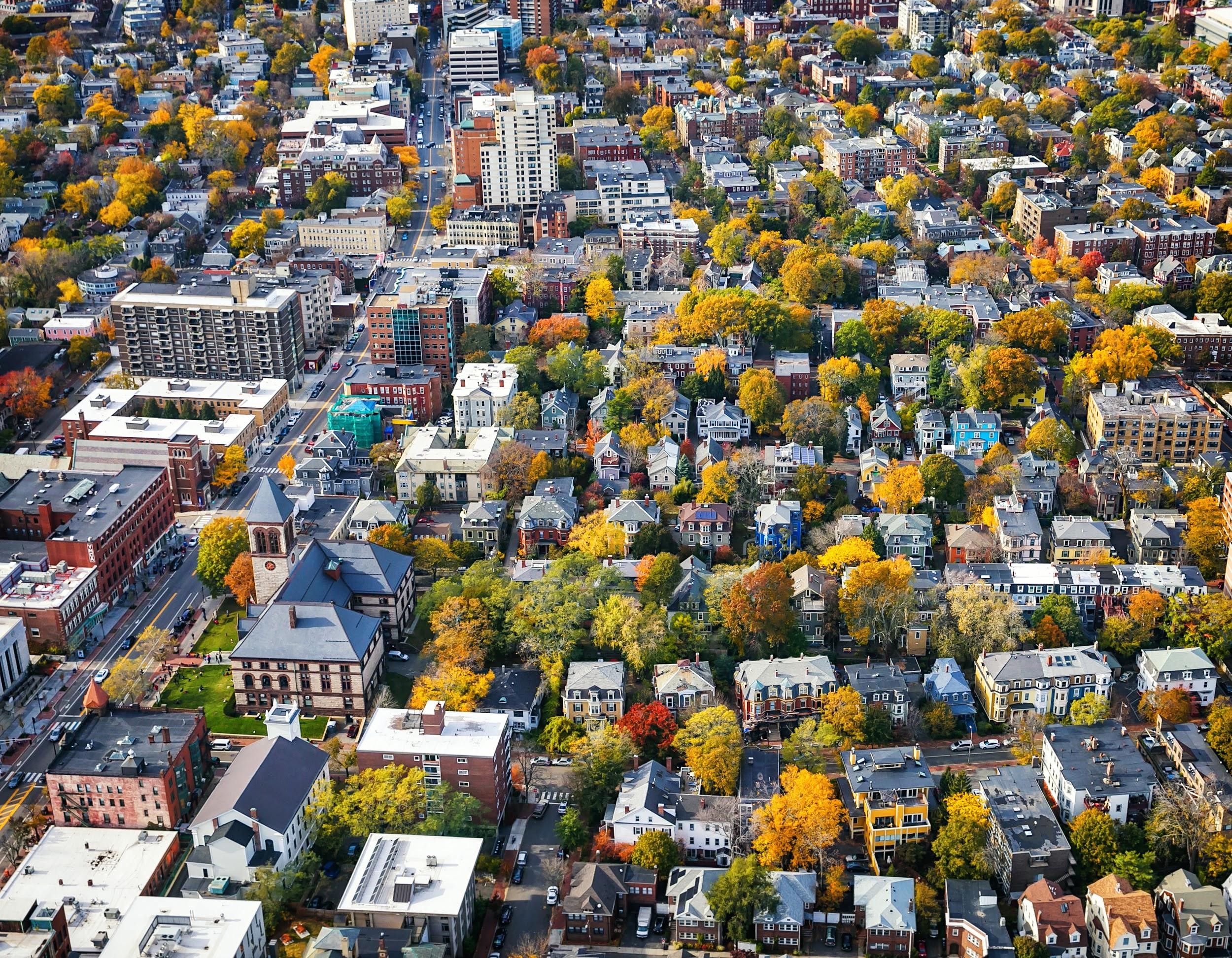
The City of Cambridge is working to plan and prepare for the impacts of climate change. The city is currently in the midst of developing a citywide Climate Change Preparedness & Resilience (CCPR) Plan in order to help the city adapt to the future and be better equipped to handle climate change. The CCPR Plan is developing strategies to reduce the Urban Heat Island Effect, and to ensure that the CCPR Plan is effective, the City is developing metrics that can be tracked to guide and adjust implementation over time. Cambridge is currently able to measure and track impervious surface area and urban forest canopy cover, but does not have the capability to track changes in rooftop albedo. Since February, the project team has been working to develop a replicable, practical, affordable, and consistent methodology to track changes in albedo over time to enable evaluation of whether the City is successfully reducing the Urban Heat Island Effect.

We developed a Python procedure that calculates albedo from two sources: National Agriculture Imagery Program (NAIP) and Ortho imageries (geometrically corrected aerial photos). This process uses raster datasets in which the cell-size is 1 meter. The original photos (with different resolutions) were resampled to 1 meter. Both images offer four bands (blue, green, red, and infrared) that are required for calculating albedo. Our Python procedure uses all four bands of each imagery (NAIP and Ortho) to calculate the albedo at cell-level. Then the rasterized building polygons were used to mask the results and measure median albedo values for each building. The original resolution of Ortho imagery is 15 cm, which offers a very detailed photo of building rooftops. Converting this resolution to 1 m creates considerable noise due to shade effects of various objects on building rooftops. To minimize this noise, we used the 80th percentile of the albedo values of all cells for each rooftop. This process is repeated for three years (2010, 2013, and 2018). We generated visuals to show how each resource can be used for tracking change in the city. Our Github page provides the codes to run this procedure and visualize the results.
The project team, composed of Community Leaders John Bolduc and Drew Kane (environmental and land use planners with the City of Cambridge), Mehdi Heris (lead project scientist) and Julia Jeanty (community science fellow and project manager) are pleased to welcome our partnership with NASA as part of their DEVELOP National Program.
Partnership with the NASA DEVELOP National Program
The NASA DEVELOP National Program is part of NASA’s Applied Sciences Program and addresses environmental and public policy issues through 10-week interdisciplinary research projects that apply the lens of NASA Earth observations to community concerns around the globe. The Massachusetts – Boston summer DEVELOP team partnered with Thriving Earth Exchange and the City of Cambridge Community Development Department to analyze how Cambridge urban albedo has changed over time. These results will be displayed through a public, interactive ArcGIS Dashboard. The dashboard will include other results from the team such as temperature records and temperature anomaly analyses for the past ~20 years. The team is in week 8 of their 10-week research project and is excited to start sharing their results with partners and the public soon!