Solicita ahora para formar parte de nuestra próxima grupo de Becados en Ciencia científicos comunitarios y líderes comunitarios.

Rezaul Mahmood y Scott Dobler han celebrado una serie de talleres de diseño con gestores locales del agua del centro sur de Kentucky y, juntos, han diseñado una herramienta que permite a los gestores del agua ver datos hídricos y meteorológicos de alta resolución que pueden utilizar para mejorar su orientación a los agricultores locales.
En Mesonet de Kentucky es una serie de herramientas destinadas a los gestores del agua del Barren River Area Development District (BRADD) para una toma de decisiones y una gestión del agua más eficaces.
Los gestores del agua han recomendado compartir la herramienta con otros en el estado.
Para más información sobre este proyecto, pulse aquí.
Drought has become a serious challenge in many parts of the world, including in the US. The increasing demand for water by a growing global population and climate change has further exacerbated this problem. It is essential that societies make better decisions in water resources management for efficient use of water under ‘normal’ condition, and particularly during drought events. Many drought monitoring products are suitable for assessing drought at larger-scale. However, one of the many facets of a drought related challenge is the identification of drought at a smaller local scale (meso-scale), and its variations. This limitation also affects local-level drought related decision making, including in agriculture and water resources management.
Instead of relying on generalized reports issued at the regional level, water resource managers would like to use higher resolution monitoring on which to base decision making for the water needs associated with their specific water basin. This flexibility will provide opportunities for a tailored solution to local water resource management. It could also be beneficial in the prevention of unnecessary water restrictions imposed on community systems that have received localized precipitation recorded by the Kentucky Mesonet.
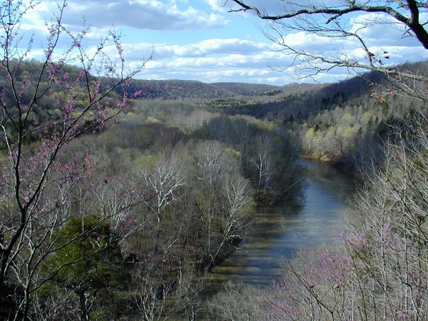
The Barren River Area Development District (BRADD) focuses on the Barren River and Green River, which drain the area into to large flood control/recreation lakes in the region: the Barren River Lake in the southern part and Nolin River Lake to the north. A major component of the services of the BRADD is regional water and wastewater resource management and planning. Through the Water Management Council (WMC), an advisory planning body to the BRADD Board, expertise is provided regarding water and wastewater issues. Working with the Kentucky Infrastructure Authority (KIA), the BRADD coordinates the implementation of regional strategies to assure the provision of potable drinking water and wastewater services to all residents.
Public officials, water suppliers and citizens, operating through state guidelines established for the process, work together to ensure that available water is best used to meet the area’s needs. As a Thriving Earth Exchange project, the BRADD project will be implemented to help support the local regional water planning. In this context, the goal of this project is to seek help in developing methods to identify drought at the meso-scale and its variations, especially as it applies in the Kentucky Barren River Area Development District. We also suggest that with successful development of the methods, its implementation in KY will prepare us for its potential application in other local communities across the country.
Scott Dobler tiene casi 16 años de experiencia como profesor de geografía y SIG en la Western Kentucky University. También trabaja como coordinador en la Kentucky Geographic Alliance, una organización de base de educadores que apoyan la educación geográfica de los alumnos de los grados P-12. Además, Dobler es gestor de proyectos en Kentucky Mesonet, la fuente oficial de datos meteorológicos y climáticos de la Commonwealth.
El Dr. Rezaul Mahmood es profesor del Departamento de Geografía y Geología de la Western Kentucky University, así como Director Asociado Universitario del Centro Climático de Kentucky. Sus investigaciones actuales se centran en la meteorología y climatología a mesoescala y las observaciones, la modelización de los efectos del cambio de uso del suelo en el tiempo y el clima, la modelización de los efectos de la humedad del suelo en el tiempo y el clima, la meteorología de la calidad del aire, la meteorología de la capa límite/interacciones tierra-superficie-atmósfera, y la climatología e hidrometeorología de las inundaciones repentinas en los Apalaches. El Dr. Mahmood también fue miembro del Comité Asesor y de Desarrollo de la Evaluación Nacional del Clima de 2011 a 2014.
Distrito de desarrollo de la zona de Barren River - Más información
Elevación de la región del río Barren - Más información
Hidrografía de la región del río Barren - Más información
(c) 2024 Thriving Earth Exchange