
Using Local Data to Improve Water Management
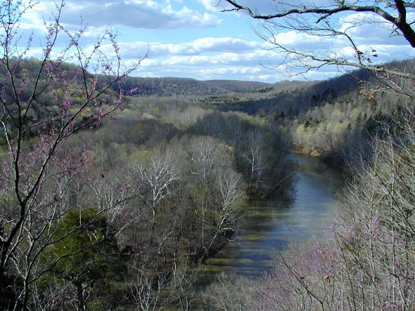
Kentucky, United States
Results
Rezaul Mahmood and Scott Dobler have held a series of design workshops with local Water Managers from South Central Kentucky and, together, they have designed a tool that allows water managers to view high-resolution water and weather data that they can use to improve their guidance to local farmers.
The Kentucky Mesonet is a series of tools for water managers of the Barren River Area Development District (BRADD) for more efficient decision making and water management.
The water managers have recommended sharing the tool with others in the state.
For more information on this project, please click here.
Description
Drought has become a serious challenge in many parts of the world, including in the US. The increasing demand for water by a growing global population and climate change has further exacerbated this problem. It is essential that societies make better decisions in water resources management for efficient use of water under ‘normal’ condition, and particularly during drought events. Many drought monitoring products are suitable for assessing drought at larger-scale. However, one of the many facets of a drought related challenge is the identification of drought at a smaller local scale (meso-scale), and its variations. This limitation also affects local-level drought related decision making, including in agriculture and water resources management.
Instead of relying on generalized reports issued at the regional level, water resource managers would like to use higher resolution monitoring on which to base decision making for the water needs associated with their specific water basin. This flexibility will provide opportunities for a tailored solution to local water resource management. It could also be beneficial in the prevention of unnecessary water restrictions imposed on community systems that have received localized precipitation recorded by the Kentucky Mesonet.
Project Team
The Scientific Liaisons

Scott Dobler has nearly 16 years of experience as a professor of geography and GIS at Western Kentucky University. He also works as a coordinator at the Kentucky Geographic Alliance, a grassroots organization of educators supporting geographic education of students grades P-12. Additionally, Mr. Dobler is a project manager at Kentucky Mesonet, the commonwealth’s official source for weather and climate data.

Dr. Rezaul Mahmood is a professor in the Department of Geography and Geology at Western Kentucky University, as well as the University Associate Director of the Kentucky Climate Center. His current research focuses on meso-scale meteorology and climatology and observations, modeling impacts of land use land cover change on weather and climate, modeling impacts of soil moisture on weather and climate, air quality meteorology, boundary layer meteorology/Land-surface-atmosphere interactions, and flash flooding climatology and hydrometeorology of Appalachia. Dr. Mahmood was also a member of the National Climate Assessment Development and Advisory Committee from 2011-2014.
Media
Status:
Complete,
Location:
Kentucky,
United States,
Managing Organizations:
Thriving Earth Exchange,
Project Categories:
Climate Change,
Natural Hazards,
Natural Resources,
Project Tags:
No tags