Community Science Improves Usability of Coastal Erosion Assessment in Arctic Alaska
By: Clayton Elder
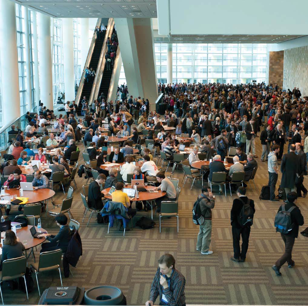
In this series, TEX is featuring a number of blogs from student volunteers who assisted at AGU’s Fall Meeting in December 2015. Each volunteer was asked to find community science projects in either oral or poster sessions and describe how the project aligns with the TEX mission and values.

Life at the top of the world, as most can imagine, is uniquely challenging. Sea-level rise, sea-ice loss, permafrost degradation, and rising temperatures are accelerating coastal erosion and erasing the land that provides vital resources for the communities of arctic Alaska. Residents of this region are on the literal front line of climate change and are increasingly in need of science, technology, and complementary policy to sustain their livelihoods. To address this need, Michael Brady of Rutgers University uses collaborative community mapping techniques to enhance local usability of coastal vulnerability map products in Alaska’s North Slope.
Brady adapted a coastal erosion index developed by researchers from the Oak Ridge National Laboratory and the United States Geological Survey to the Arctic context by including the effects of sea-ice loss. Brady then conducted interviews on the North Slope to understand which coastal assets and places local communities are most concerned about and why, and assimilated this information into community exposure map products. The Cold War Distant Early Warning (DEW) Line is of particular concern among locals. Though no longer in use, remaining infrastructure and landfills from the DEW Line are poised to contaminate sensitive marine environments as erosion advances. Brady asserts that the exposure map products serve as “boundary objects” (tools used to unite ideas across differing parties) for collaborative research; and that their greatest value is realized by coproduction of knowledge and related benefits from enhanced researcher-community engagement. Community access to local exposure information during the research process is a prominent result from Brady’s community engagement. Consistent with the “usable science” literature, Brady claims that the collaborative mapping enhances effectiveness of informational coastal vulnerability products created to support decisions and plans of local leaders by promoting local perceptions of product saliency, credibility, and legitimacy. To put it simply, without assimilating local knowledge, the map products would be considered useless to the communities whose assets are at stake.
In arctic Alaska, and in many other remote regions of Earth where impacts from rapidly changing climate are disproportionally affecting indigenous groups, there is an increasing need for environmental impact research. However, as Brady’s work demonstrates, this research also carries the necessity for local knowledge and community involvement. In the Earth and Environmental sciences, research products have implications for improving the quality of life for mankind though global sustainability. Too often, these products are shelved and forgotten due to lack of communication, incorporation, and education within the general public. Brady’s work reminds us that the connection to community is just as important in environmental research. The impacts of human civilization are continually gaining weight in global ecology. We are a hugely important influence on the interconnected Earth system. Therefore, the human experience should not be forgotten as an important source of environmental information.
A poster presentation of this research can be found at: https://agu.confex.com/agu/fm15/meetingapp.cgi/Paper/84988
More information on this project can be found at:
https://www.arcgis.com/apps/MapSeries/?appid=78661fee41bf4d3189c2979777ccca01
or
https://sites.google.com/site/michaelbbrady1/
Brady’s research is supported by the U.S. National Science Foundation (NSF) Office of Polar Programs (PLR) award 0732973 and NSF PLR Directorate for Geosciences (GSS) award 1523191; Rutgers University Department of Geography; and Applied Research in Environmental Sciences Non-profit. Geospatial support for this work provided by the Polar Geospatial Center under NSF PLR award 1043681.