
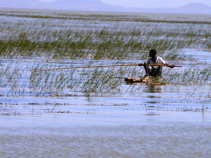
Mapping in the Ziway basin
TEX scientist Dr. Stéphanie Horion is working to identify a series of optimal maps and spatial data layers related to land use/land cover change and soil characteristics for HoAREC&N. In collaboration with a HoAREC&N consultant who specializes in modeling and statistical analysis, they intend to use these spatial layers to help inform water challenges in the Ziway basin. There are multiple products that will go into this final output, including a hydrological model. Based on Horion’s suggestions, the CCI land cover products is currently being tested as an input to the hydrological model. The consultant supplemented that with an additional land cover data set, that once being integrated to the CCI dataset will improve retracing the history of land cover changes over the study area.
The goal of this project is to report the project’s findings to the local government at the end of July 2016. Haile Brook has communicated that he anticipates that this model will convince the government to implement a water allocation plan for the Ziway catchment. He noted that, although implementation may meet some resistance, the project will be a success if they are able to share solutions with other developing nations facing similar issues.