
Understanding Flood Risk in the Ribault River
Jacksonville, Florida, United States
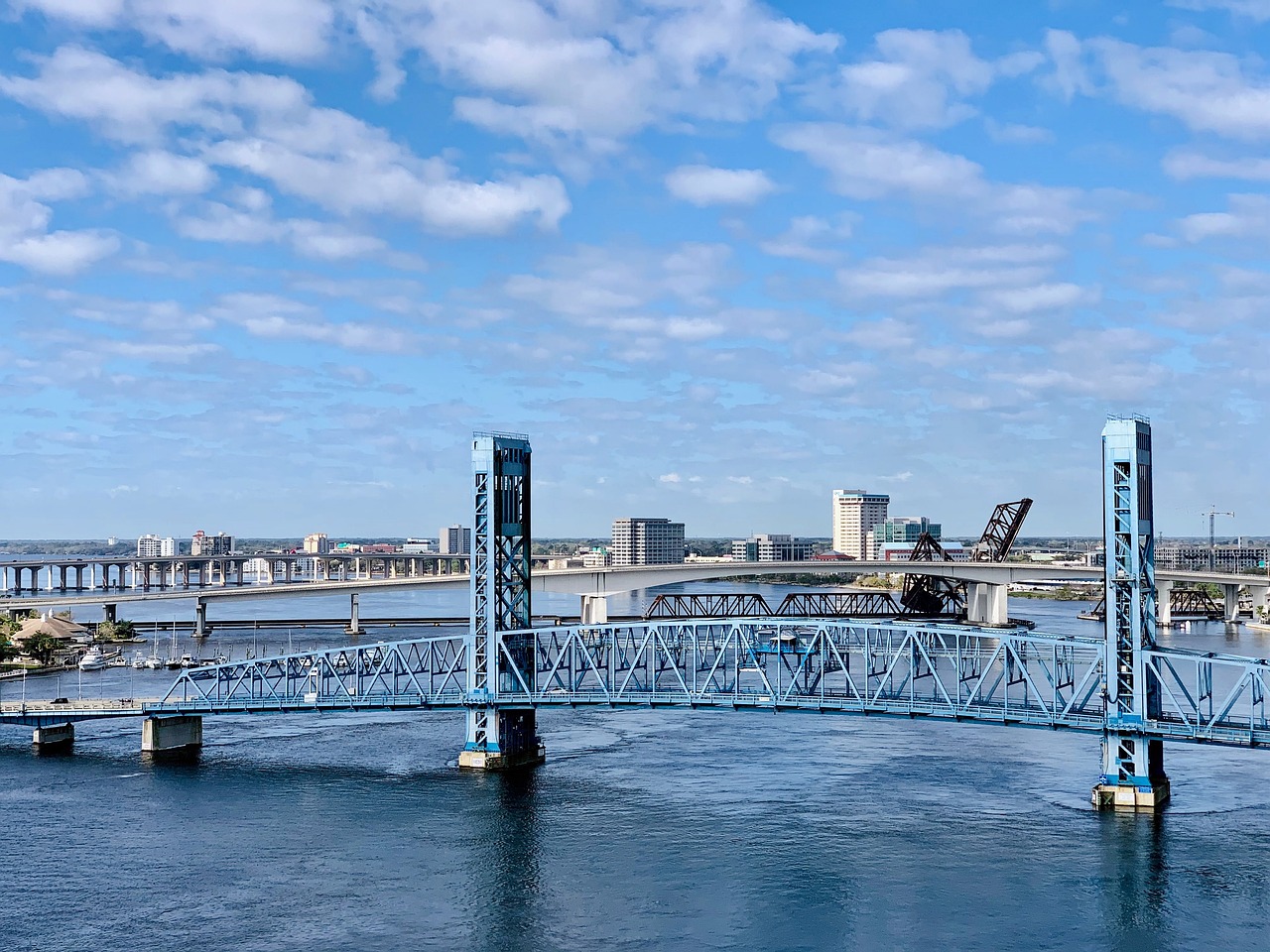
Image by Sharon Kehl Califano from Pixabay
For this project, we seek to gather data and grow community understanding around flood risk in the Ribault neighborhood in Jacksonville. The Ribault is a long-standing predominately African American neighborhood bordered by the Ribault River to the north. The Ribault frequently experiences flooding and subsequent public health impacts due to leaking septic tanks, upstream superfund sites, and other hazards. Community Leads at Local Initiatives Support Corporation (LISC) and St. Johns Riverkeeper are working with a coalition of community, academic, and municipal partners on a broad resiliency project in the area, of which this work is just one piece. Members of this Thriving Earth Exchange project will grow both the scientific and community knowledge of flooding in the area by synthesizing historical and modeled flooding datasets, informing the design and execution of a citizen science project to gather on-the-ground flooding data, and support science communication efforts in the community.
Results
This project began with the idea of gathering data and growing local understanding around flood risk in the Ribault neighborhood in Jacksonville, Florida. The Ribault is a long-standing predominately African American neighborhood bordered by the Ribault River to the north. Although the project did not reach the original goals, the project team was able to strengthen connections with a variety local NGOs, universities, and city officials who were supporting local environmental science goals in a few different ways. Throughout a number of Scope calls, including calls where we met with landscape architects, city officials, local environmental leaders, and community members, the project team discussed a number of different factors about the project site and possibilities for shorter term community science projects and longer-term infrastructure and restoration projects. The community felt that this process was valuable in increasing their understanding of both how to go about addressing environmental issues and the process of community science and will hopefully serve them in the future as they continue to work to make a more resilient Ribault River.
Description
About the Community
The Ribault neighborhood in Jacksonville is bordered to the north by the lower portion of the Ribault River before it flows into the Trout River and subsequently St John’s River. Ribault River’s headwaters are only 7 feet above sea-level and the area’s flat topography, along with its coastal proximity and dense network of waterways, make it highly vulnerable to flooding. Ribault is an urban community of about 3,000 primarily African-American residents. LISC’s work in Ribault is intersectional and includes a variety of projects across different issue areas, such as housing resiliency and food security. Environmental concerns are typically outside of LISC’s wheelhouse, but the river is such a key part of this community that they reached out to Thriving Earth Exchange to help develop an environmental project that aligns with their other community priorities. LISC has also been building relationships with other local groups, such as St. John’s Riverkeeper, Northwest Jacksonville Community Development Corporation and university programs focused on landscape architecture, oral histories and water quality monitoring, city officials tasked with implementing Jacksonville’s new resiliency plan, and community members through surveys, community meetings, and river clean-up and boating days. Community members are concerned about water quality, flooding, and access to greenspaces and the river itself. They hope this project can identify focus areas for resiliency planning and development.
About the Project
The city of Jacksonville recently released their Resilient Jacksonville plan, which outlines investment and development priorities for the next 50 years, which will assuredly bring great challenges and opportunities to this low-lying coastal city. Neighborhoods like the Ribault are supposed to be prioritized for investment as part of this plan. This project seeks to support the city by gathering on the ground data to supplement flood risk modeling (including a cutting edge compound flooding model currently under development) and incorporate community members into the process of identifying resiliency investment opportunities.
For this project, we will first gather relevant flooding datasets, whether historical data or models. Initially, we will use these datasets to identify areas of potential flood risk for investigation. Concurrently, we will develop a citizen science data collection protocol around urban flooding that will best allow us to ground truth the past results and predictions seen in the datasets. This may look like a “bioblitz”-type event where community members spread out throughout the neighborhood during a storm to photograph and measure flooding, a longer term effort to photograph flooding over the course of a storm season by a few key data collection volunteers, or somewhere in between. This effort may include gathering water quality data on standing flood waters. We will then compare in-situ data to the datasets to verify model predictions. This project will conclude with a community forum and workday where community members can come together to learn about the project results, share thoughts on how these results should drive investment in flood mitigation projects in their neighborhood, and potentially pitch in to address one or more problematic flood zones directly by clearing any blocked storm drains or culverts that were identified in the data collection process.
Timeline and Milestones
We expect this project to take 6-9 months after identifying a Scientific Lead but the project timeline is dependent on the protocols developed with the Scientific Lead.
Milestone 1a: Gather relevant datasets and model outputs.
Milestone 1b: Develop citizen science data collection protocol.
Milestone 2: Planning, recruitment, and training of citizen science data collectors.
Milestone 3: Citizen science data collection.
Milestone 4: Data analysis.
Milestone 5: Community forum + work day.
Project Team
Community Lead

Kristopher Smith is the Community Development Program Officer at LISC. Originally from Jacksonville, Kristopher Smith joined the LISC Jacksonville staff on April 20, 2020. In his role as Community Development Program Officer, Smith oversees LISC’s Jacksonville Urban Core Initiative and its efforts to advance economic growth in urban core neighborhoods. Kristopher brings nearly 20 years of experience in community engagement and development, grantmaking and capacity building to the organization.

Lisa Rinaman serves as the chief advocate and public’s voice for the St. Johns River. She utilizes 20 years of policy experience to hold those harming the river accountable and to identify and champion solutions to protect and restore the river, its tributaries, and its springs.
Community Science Fellow

Gabriel Rosenstein currently works for the Rose Foundation for Communities and the Environment supporting environmental justice and grassroots grantmaking, with a particular focus on improving the health of California watersheds. He has supported a variety of community environmental and science projects over the years, including evaluating wildfire risk in the Bay Area as part of NASA’s DEVELOP program and working on the ground on an Indigenous-led ecology project on Long Island.
Collaborating Organizations
LISC Jacksonville is the host organization for this project. LISC Jacksonville is dedicated to transforming local neighborhoods into healthy and sustainable communities of choice and opportunity – good places to live, work, do business, and raise a family.
St. Johns Riverkeeperis a key partner for LISC Jacksonville in all of their work building a resilient Ribault in Jacksonville. St Johns Riverkeeper envisions and works towards a thriving St. Johns River Watershed that sustains healthy ecosystems for future generations.
Status:
Complete,
Location:
Florida,
Jacksonville,
United States,
Managing Organizations:
Anthropocene Alliance,
Project Categories:
Flooding,
Living Shorelines,
Natural Hazards,
Project Tags:
No tags