
Utilizing GIS to Restore Water Infrastructure in a Rural Community
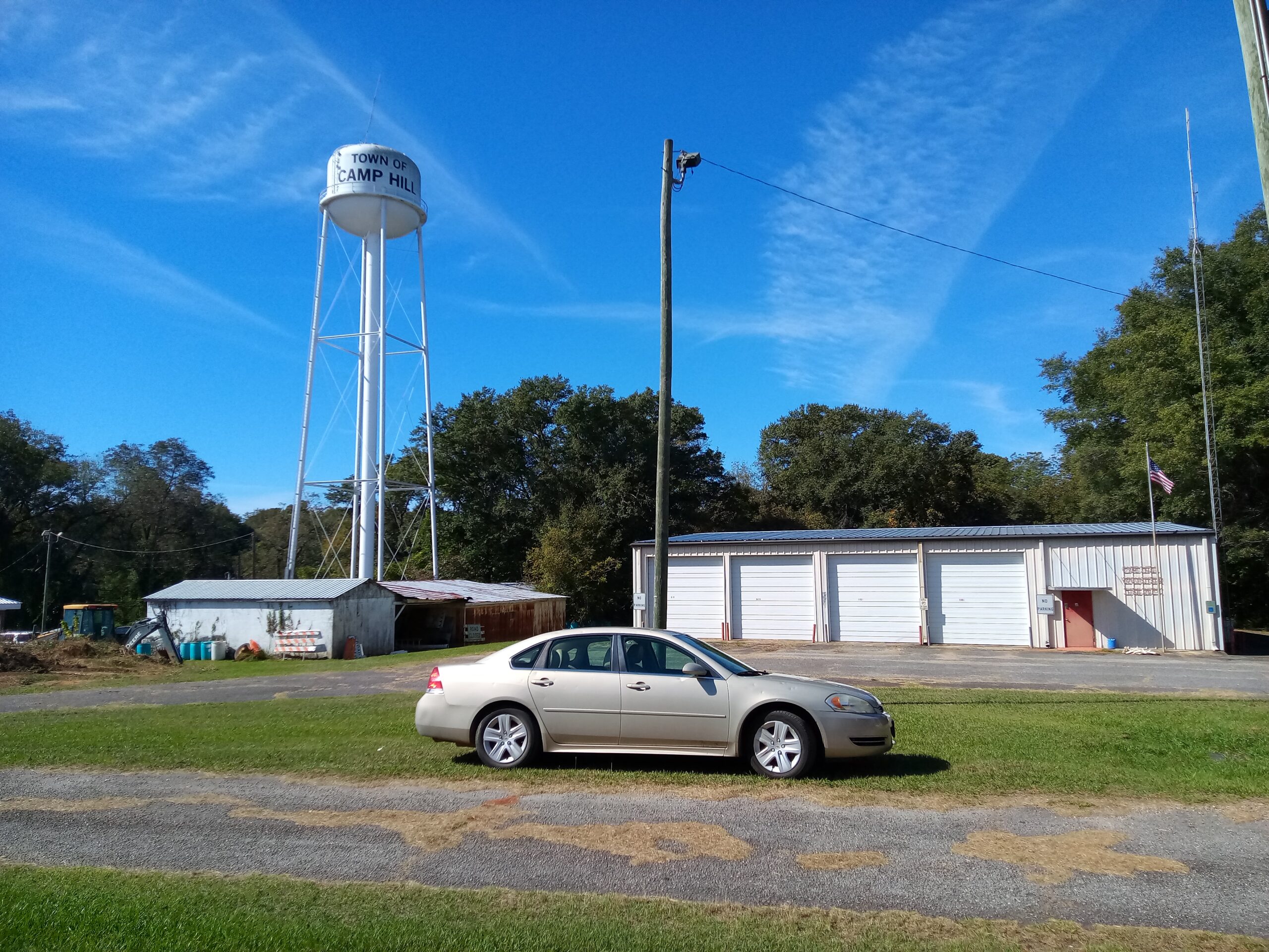
Camp Hill, Alabama, United States
Camp Hill, AL has long dealt with issues regarding their drinking water and sewer water infrastructure. The system has locally known areas of leakage but the community lacked a map of the underground pipes that comprise these systems. The project used multiple existing data sources to produce an interactive map of the drinking water system. Camp Hill residents can report potential leakage or water utilities issues that along with the map, will help address water utilities more efficiently in the future.
Results
The project team started off by amassing data and resources that could lead to a reliable means of building a map of the town’s drinking water system. They started with large, old sets of maps drafted by engineering firms that previously worked on these systems. The maps were each about half the size of a kitchen table, and needed to be scanned in order to be viewed digitally. Additionally, a water utilities map drafted in 2010 by the East Alabama Regional Planning and Development Commission (EARPDC) served as a strong basis for where the system was expected to be.
Project scientists, Emma Ordemann and V Miller joined the team to develop a plan for producing an interactive map of the drinking water system. First, the large, old engineering drawings of the system were scanned and then georeferenced to produce a prototype of the map. Notably, georeferencing was not the ideal way to make a highly accurate map, but it was done in order to have a starting point. The next step was a plan for getting better data from which to make the map. The team created a data collection form through Survey123, which would allow for recording the location of features such as hydrants, water mains, and water towers. To collect this data, the team took the 2010 EARPDC water utilities map and created a set of data collection transects out of where the pipes were known to be. These transects were assigned driving directions for field collection. The team used GPS data loggers to record the data points within the transects that would later comprise the geographic data for the water lines. Over the course of a month and a half, data collection was performed by Cl Dean Bonner with the help of Robert Gwell Shelly, former town Utilities Department Supervisor. V also greatly contributed to data collection through driving along the transects.
Finally, this data was used to create the interactive story map for Camp Hill’s drinking water system. The project team created a survey through Survey123 that will allow Camp Hill residents to report potential leakage or water utilities issues in the future. This should be a helpful starting point for Camp Hill to address water utilities issues more efficiently in the future.
Description
Background
The town of Camp Hill is situated in Tallapoosa County in east-central Alabama, approximately 20 miles northeast of the city of Auburn and about 50 miles east of Montgomery, the state capital. With a current population of just over 1000 people, Camp Hill was incorporated in 1895, with the most recent census concluding that the town’s population is predominantly (~87%) Black or African American. Camp Hill is located in the Tallapoosa River Basin, which measures 4,675 square miles and flows through ten additional counties in Alabama.
As it stands, Camp Hill faces challenges with respect to its drinking water and sewer systems. Outdated infrastructure, inadequate repair practices, and limited funding, along with a general lack of publicly available information on the town’s water resources all contribute to Camp Hill’s issues with maintaining these systems. Put simply, underground pipes transporting water in both the sewage and drinking water systems are affected by 1) repeated breakage in several parts of town due to heavy vehicles compacting the ground above said pipes, and; 2) gradual degradation due to their age and lack of preventive maintenance.
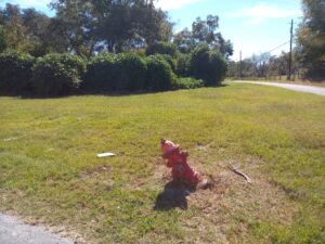
Existing documentation for the water and sewer system is primarily paper maps located in the town’s archives which are difficult to read and some have become damaged. Current employees who have worked with the system over the years hold a great deal of legacy knowledge about the system and operation, and this needs to be documented to the extent practicable for future operations.

Project
In order to assess current conditions and prioritize needed repairs to water infrastructure, the community of Camp Hill requires a means of effectively documenting both its drinking water system and sewer water systems along with other co-located infrastructure such as natural gas distribution. While several problem areas within the current systems have been identified, a full scope analysis of the systems is necessary for determining a proper course of action.
Scope:
- Data Collection: Gather data on the drinking water and sewer systems, including infrastructure locations, pipe networks, water sources, treatment facilities, sewer lines, pumping stations, and any relevant information about their condition and capacity.
- Spatial Analysis: Use GIS to analyze spatial patterns and relationships within the drinking water and sewer systems. This could involve identifying areas with high rates of water supply contamination, areas prone to sewer overflows, or areas with outdated infrastructure.
- Data Integration: Integrate various datasets into a GIS platform, such as demographic data, land use data, environmental data, and historical data on water quality and system maintenance. This integrated approach can provide a comprehensive understanding of the factors influencing the water and sewer systems.
Outputs:
- Mapping of Infrastructure: Using GIS along with historical maps and local knowledge to produce an up-to-date and publicly available map of Camp Hill’s sewage and drinking water systems.
- Scenario Planning: Use GIS to model the implications of climate change (intensification of storm events) on these systems.
- Public Outreach: Utilize GIS-generated maps and visualizations that effectively communicate the issues with the drinking water and sewer systems to stakeholders and the public. This can help raise awareness and build support for necessary improvements and investment.
- Recommendations for Best Practices: Obtain recommendations for a basis (e.g.: annual, semi-annual) for surveying the system(s) among other matters.
Future Goals:
- Infrastructure Improvement: Continuously monitor and assess the condition of the water and sewer infrastructure using GIS technology, with the goal of identifying areas in need of repair or replacement and prioritizing infrastructure investments accordingly.
- Community Engagement: Enhance community engagement efforts by leveraging GIS technology to create interactive maps and online platforms where local government staff and ratepayers can access information about the water and sewer systems, report problems, and provide feedback. Foster a culture of transparency and collaboration between the local government and the community.
- Capacity Building: Build capacity within the local government and community to effectively utilize GIS technology for managing and improving the water and sewer systems. Provide training and technical assistance to staff members, elected officials, and community stakeholders to ensure they have the necessary skills and knowledge.
- Autonomy Over Water Resources: Camp Hill community leaders would like to be equipped to manage their sewer and drinking water systems independently along with the help of its recently formed Water Board.
- Synthesis: Overlay the town’s zoning map as a layer in GIS for community planning. Compare zoning with areas where development is possible and where it would be helpful.
- Identifying Vulnerability: Map the brownfield locations as we know them, based on historic use of land and structures, to identify potential fresh water contamination sources and also to assist in the development of required physical security plans.
- Basis for Recapitalization / Equipment Replacement Plan: Create a plan for the maintenance and replacement of pipes and equipment within the water systems in Camp Hill.
Project Team
Community Leads
Dean Bonner is a board member of the Alabama Center for Rural Organizing and Systemic Solutions (ACROSS) and is an active community volunteer in many capacities. He is the immediate past Mayor Pro Tempore of Camp Hill, Alabama and is an active member of the town’s all-volunteer fire department. Bonner retired in Camp Hill in 2011 following a 30-year distinguished Coast Guard career wherein he rose through the enlisted and warrant officer ranks and was direct-selected to LT (O3), rising through a third of the line officer ranks. While on active duty, he qualified in Incident
Command through ICS Level 900 and worked in the Incident Command for Hurricane Georges when the storm struck Mobile in 1998. He earned his BS in Security Management from Bellevue University in 2011 Magna Cum Laude. He has maintained an ASIS International board certification in Security Management (which includes Emergency Planning and Response) as a Certified Protection Professional (Lifetime Certification) since 2011.
Dean is an award-winner author and screenwriter whose work has placed well in the Austin Film Festival competition. His memoir Guarding the Grave, a story about his dad’s union loyalty leading his father to spend months guarding MLK’s initial grave in South-View Cemetery in South Atlanta, was published in the 2025 edition of So It Goes: The Literary Journal of the Kurt Vonnegut Museum and Library.
Community Scientist

Emma Ordemann is a GIS professional with over three years of experience in GIS for environmental consulting. She has also held roles as a high school math teacher and as an environmental educator. She has a degree in Ecology from the University of Colorado, Boulder, where she also earned a certificate in GIS & Computational Sciences. Emma is passionate about all things maps and utilizing GIS to solve problems for environmental and social good. She enjoys trail running, canoeing, reading, and traveling.
V (Victoria) Miller (she/they) brings a tenacious passion for justice and a background in public health. As director of Advocacy Research at Alabama Rivers Alliance,V explores how scientific and policy research can be engaged to advance equitable water management and infrastructure solutions. An Alabama transplant since 2016, they have grown to adore all the untamed nature and scenic waterways the state has to offer.
V is also currently pursuing a master’s degree in Geography and Environmental Studies at Auburn University. They graduated cum laude from the University of Alabama at Birmingham with a bachelor’s in Public Health in 2020. V first became involved in environmental advocacy while volunteering with Coosa Riverkeeper as an undergraduate and has remained deeply committed to protecting Southern rivers ever since.
Victoria grew up on the Mississippi Gulf Coast, where she enjoyed the best of both worlds from the brackish bayous of the Pascagoula and Escatawpa Rivers to the salty Mississippi Sound. Their upbringing was steeped in Cajun culture and joy for the outdoors. Victoria enjoys visiting as many waterways as possible and makes it a goal to touch a new waterbody on every trip!
Community Science Fellow
Matthew Coughlin – (he/him) is a junior research specialist at the University of California, Berkeley where he studies parasitism relationships in insects and their role in preventing significant impacts to the agriculture industry. He currently works in a lab studying the management of spotted wing drosophila, an invasive fruit fly that devastates berry farms every year. Matthew is highly passionate about conservation, science communication and urban planning. He received his Bachelor’s of Science from the University of Maryland, College Park in Environmental Science & Technology. Between graduating university in 2018 and his current role, he has worked in a variety of roles ranging from teaching English abroad in France to working in environmental and social governance. His interests include foreign language study, cooking, gardening, visiting museums and hiking.
Community Science Hub Coordinator
Kathleen Kirkpatrick is an environmental engineer and climate activist with a passion for helping rural communities in the South become more resilient and sustainable. She grew up mostly in Alabama, left the region to attend college and pursue a career in environmental protection, then returned in 2012 after her hometown of Tuscaloosa was devastated by a tornado. A dedicated advocate for environmental and social justice, Kathleen earned a bachelor’s degree in chemical and ocean engineering from the University of Rhode Island and pursued graduate studies in sustainable building and Biomimicry. With a diverse career ranging from environmental policy, sustainability education, and nonprofit management to movement politics, she continues to work collaboratively with others in the climate & environmental justice movement towards a Just transition for Southern communities. She serves on the board of directors for Coosa Riverkeeper, the Alabama Sustainable Agriculture Network (ASAN), and the Alabama Center for Rural Organizing and Sustainable Solutions (ACROSS).
Warren Tidwell photo and bio coming soon
Status:
Complete,
Location:
Camp Hill,
Managing Organizations:
Capacity Collaborative,
Thriving Earth Exchange,
Project Categories:
Contamination/pollution,
Flooding,
public health,
Project Tags:
No tags