
Who We Are
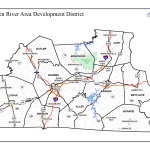
The Barren River Area Development District (BRADD) focuses on the Barren River and Green River, which drain the area into to large flood control/recreation lakes in the region: the Barren River Lake in the southern part and Nolin River Lake to the north. A major component of the services of the BRADD is regional water and wastewater resource management and planning. Through the Water Management Council (WMC), an advisory planning body to the BRADD Board, expertise is provided regarding water and wastewater issues. Working with the Kentucky Infrastructure Authority (KIA), the BRADD coordinates the implementation of regional strategies to assure the provision of potable drinking water and wastewater services to all residents.
What We Aim to Achieve
Public officials, water suppliers and citizens, operating through state guidelines established for the process, work together to ensure that available water is best used to meet the area’s needs. As a Thriving Earth Exchange project, the BRADD project will be implemented to help support the local regional water planning. In this context, the goal of this project is to seek help in developing methods to identify drought at the meso-scale and its variations, especially as it applies in the Kentucky Barren River Area Development District. We also suggest that with successful development of the methods, its implementation in KY will prepare us for its potential application in other local communities across the country.
Why is it Important?
Drought has become a serious challenge in many parts of the world, including in the US. The increasing demand for water by a growing global population and climate change has further exacerbated this problem. It is essential that societies make better decisions in water resources management for efficient use of water under ‘normal’ condition, and particularly during drought events. Many drought monitoring products are suitable for assessing drought at larger-scale. However, one of the many facets of a drought related challenge is the identification of drought at a smaller local scale (meso-scale), and its variations. This limitation also affects local-level drought related decision making, including in agriculture and water resources management.
Instead of relying on generalized reports issued at the regional level, water resource managers would like to use higher resolution monitoring on which to base decision making for the water needs associated with their specific water basin. This flexibility will provide opportunities for a tailored solution to local water resource management. It could also be beneficial in the prevention of unnecessary water restrictions imposed on community systems that have received localized precipitation recorded by the Kentucky Mesonet.
Get Involved
This project is now looking for funding to take it to the next stage. For more details on how to back this project visit:
![]()
Phase I Complete
Prize: $2000 for the selected solution in Phase 1
Challenge ID: TEX2013-101 (PDF Version)
Challenge
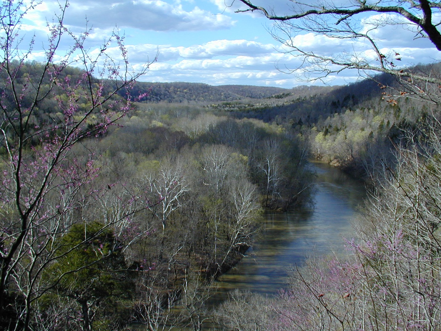
The Barren River winds its way through south-central Kentucky. Credit: BRADD (Click to enlarge)
The Kentucky Barren River Area Development District (BRADD) would like to develop a methodology to solve the challenges associated with meso-scale drought identification and its variations in the Barren River Area. Local water resource decision makers will be supported through the development of these methods. The use of existing datasets, such as the KY Mesonet is encouraged.
Phase 1: Request for Approach
(Solution Submission open for 45 days, Judging for 15 days)
Propose a user interface and describe the technical processes and computer programming necessary to create that user interface in order to assist water managers and other technical users in monitoring drought conditions in the Barren River Area Development District at the meso scale using environmental datasets.
Phase 2: Prototype
(Only available to solution(s) selected in Phase 1)
Build a prototype of a working interface, along with all necessary instructions, so that local water managers and other technical users can reliably monitor drought conditions at the meso scale. The winning solution from Phase 1 will be used as the basis to raise funds to support Phase 2.
Solution Requirements
- Use of datasets: Solutions should incorporate datasets that are accessible for free/minimal cost.
- Spatial resolution: Preference will be given to solutions using in situ observations. Maximum acceptable scale will be 32 km grid sizes.
- Temporal resolution: Preference will be given to solutions that update data in real-time or near-real-time. Maximum acceptable temporal resolution will be daily updates of data from the datasets.
- Projected ease of use: Solutions must include a mock-up of proposed user interface for judges to view.
- Use of proprietary technology: Preference will be given to solutions proposing to use open-source or low-cost technologies for building the user interface.
- Projected cost to build a prototype of the proposed solutions: Solutions must include a budget.
- Potential to transfer the solution to other communities: Preference will be given to solutions that can be used in other regions with similar environmental datasets.
Composition of Judging Team
- Two representatives from the Barren River Area Development District (BRADD)
- One Kentucky-based scientist designated by BRADD
- One scientist with mesonet experience
- One communications specialist